If the Potomac River is part of why you love the Eastern Panhandle, you are in good company. Living near Falling Waters puts you close to scenic water, relaxed paddling, and a mix of public access on both the West Virginia and Maryland shores. You might be scouting a new launch for weekend fishing or weighing river proximity in your next home search. This guide gives you a clear, practical overview of how to reach the water, what to expect on the river, and what to consider if you plan to buy nearby. Let’s dive in.
Where the Potomac meets Falling Waters
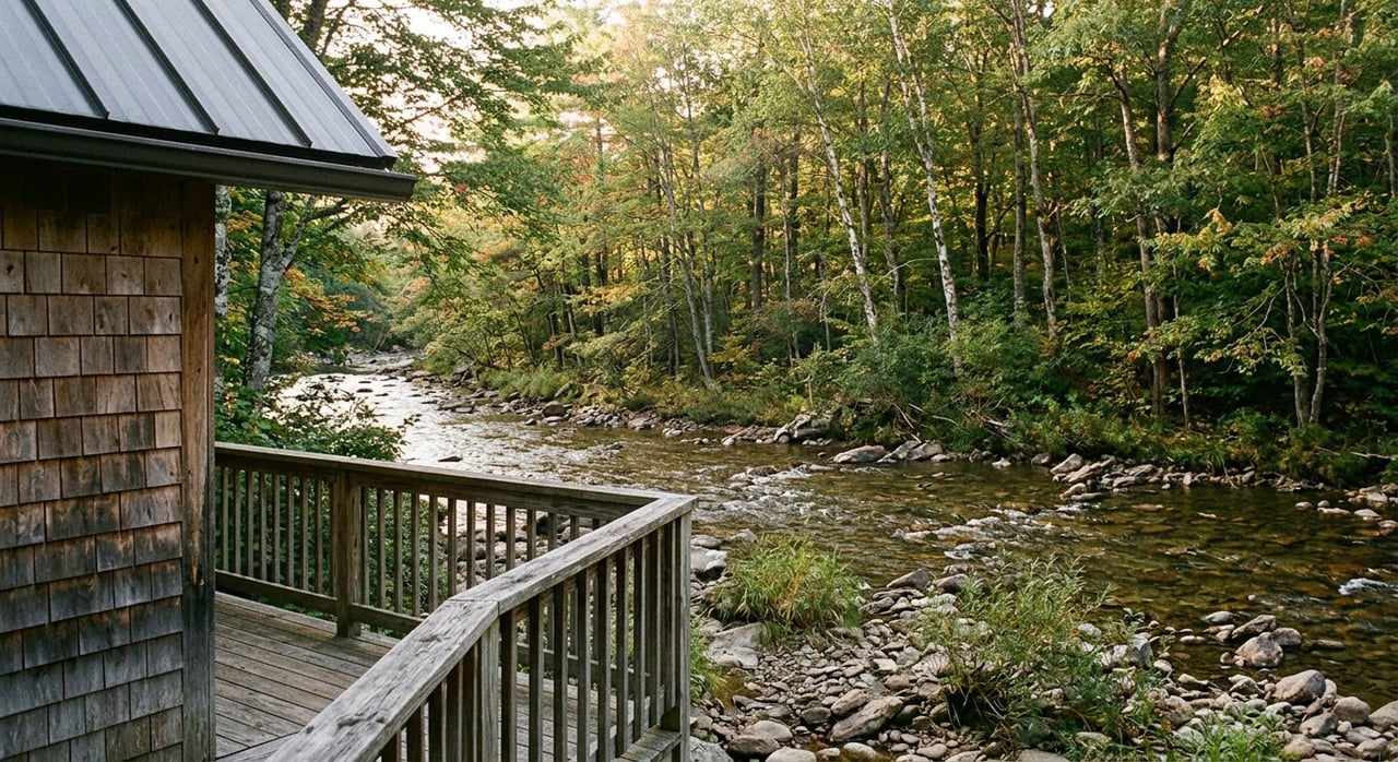
Falling Waters sits in Berkeley County along the Potomac River, where the water forms the border between West Virginia and Maryland. That means your closest access could be on either shore, depending on the site. The river here supports boating, kayaking and canoeing, SUP, shoreline walks, and small‑craft fishing.
Anglers typically target warmwater species such as smallmouth bass, catfish, and sunfish, with regulations set by state agencies. Launch and fishing rules are governed by West Virginia Division of Natural Resources on the West Virginia side and Maryland Department of Natural Resources on the Maryland side. Always confirm which state’s regulations apply to where you launch and fish.
Public river access options
Falling Waters residents use a mix of public sites and parklands to reach the Potomac. You will find a few main types of access.
Trailer boat ramps
These paved ramps are designed for trailered powerboats and larger fishing boats. They usually include vehicle and trailer parking, and often have lighting and formal hours. Not every site supports trailers, so check each ramp’s designation before you go.
Carry‑in launches for paddlers
Many smaller sites allow hand launching of kayaks, canoes, and SUPs. Expect gravel or grass approaches, short sets of steps, or stabilized shoreline entries. Parking can be limited and seasonal gates are common, so plan for early arrival on weekends.
Parks, trails, and shoreline points
National, state, and county parks along the Potomac sometimes offer designated access for anglers and paddlers. These sites may connect to riverside trails and scenic overlooks. Pay attention to posted signs about permitted uses and seasonal closures.
Outfitters and private services
Local outfitters can simplify trips with rentals or shuttles, especially if you want to paddle point‑to‑point. Formal marinas and full‑service boat facilities are less common close to Falling Waters, and tend to cluster at larger river hubs. Verify services and hours before you go.
How to find verified access
Because access sites and rules can change, use authoritative sources before you load the truck. These resources help you verify the type of launch, parking, and current status.
- West Virginia Division of Natural Resources: Check public boating access lists, ramp details, and boating laws for West Virginia waters.
- Maryland Department of Natural Resources: Review Potomac River access points on the Maryland shore and confirm ramp capabilities.
- National Park Service: Harpers Ferry National Historical Park and C&O Canal National Historical Park list river access, parking, and permitted activities.
- County GIS and parks: Berkeley County and neighboring counties sometimes map smaller sites, easements, and park amenities.
- Satellite maps and topographic tools: A quick look can confirm the presence of a paved ramp, turnaround space, or a carry‑in path.
Tip: Some small or municipal carry‑in sites are not well advertised. Confirm hours, gates, and parking limits with the managing agency before you go.
Scenic stretches and easy routes
You can think about the river in two rings from Falling Waters: immediate local options for quick paddles and regional highlights within a comfortable day trip.
Immediate local outings
Within roughly 10 to 20 minutes, expect short out‑and‑back paddles from carry‑in spots and relaxed shoreline fishing. These areas tend to be quiet in shoulder seasons and offer tree‑lined banks, wildlife sightings, and easy access for a morning or after‑work session.
Regional highlights within 20 to 45 minutes
- Harpers Ferry and the confluence with the Shenandoah: This National Park Service hub is one of the most scenic river corridors in the region, with historic views, established put‑ins and take‑outs, and popular paddling routes.
- Shepherdstown and upstream stretches: Rural river miles and a classic college‑town vibe give you a nice pairing of paddling and dining. These stretches are well suited to day trips and weekend stays.
Route styles to consider
- Short out‑and‑back paddles: Launch, head upstream for 30 to 60 minutes, then return to your start. This avoids shuttles and lets you adjust distance to conditions.
- Point‑to‑point trips: Link two public access points for a longer float. Plan a shuttle or ask an outfitter if they provide transport.
- Combo days: Paddle in the morning, then visit a nearby town for lunch or shopping. It is a relaxing way to share the river with guests.
Safety, rules, and seasons
The Potomac is a living river, and conditions change with weather and flow. A few habits make every trip safer and more enjoyable.
Check flow and water level first
Before you launch, look up real‑time Potomac River data from the U.S. Geological Survey. Higher flows can increase difficulty, move debris, and create strong currents around bridge piers and bends. Adjust your plans if flows are high or the water is cold.
Wear your PFD and pack basic gear
Every person on the water should have a properly fitted, U.S. Coast Guard–approved life jacket. Small craft should also carry a daytime signaling device, such as a whistle. Cold water can lead to hypothermia even on mild days, so dress for the water, not the air.
Know registration and license rules
Boat registration and required equipment are state specific. If you launch from the West Virginia side, West Virginia rules apply. If you use a Maryland shore access, Maryland rules apply. Anglers should carry the appropriate state fishing license and follow creel and size limits for the waters where they are fishing.
Launch etiquette and parking
Many public sites have limited spaces, seasonal gates, or posted time limits. Read on‑site signs and leave room for trailers at ramp areas. Have your boat and gear staged before you back down a ramp to keep traffic moving.
Stewardship and clean boating
Healthy rivers start with everyday decisions made by people who use them. A few simple practices protect the Potomac and preserve access for everyone.
- Clean, drain, and dry: Remove mud, plants, and water from boats and gear after every trip to prevent the spread of aquatic invasive species.
- Respect private property: Do not trespass above the high‑water line unless a public easement exists. Launch and land only at public sites or places where you have permission.
- Leave no trace: Pack out trash, use designated launches to reduce bank erosion, and avoid disturbing wildlife and nesting areas.
Amenities and trip logistics
Plan around a few practical details to keep river days easy.
- Parking and restrooms: Facilities vary by site. Larger ramps and park hubs are more likely to offer restrooms and marked parking. Arrive early on weekends.
- Outfitters and shuttles: If you want a low‑effort float, look for outfitters that provide rentals and shuttle service. Call ahead to confirm the route, timing, and fees.
- Food and supplies: Towns along the river make it convenient to pair a paddle with dining or resupply. This is handy for second‑home owners hosting visitors.
- Storage and marinas: Full‑service marinas are limited near Falling Waters. If you own a powerboat, you may need to plan for trailer storage or look to larger river hubs for seasonal services.
What river access means for your home search
If the Potomac is part of your lifestyle, factor river proximity into your property criteria. Access can influence both your daily routine and due diligence.
Property types and access levels
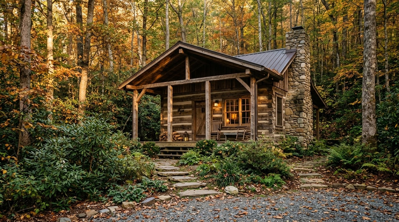
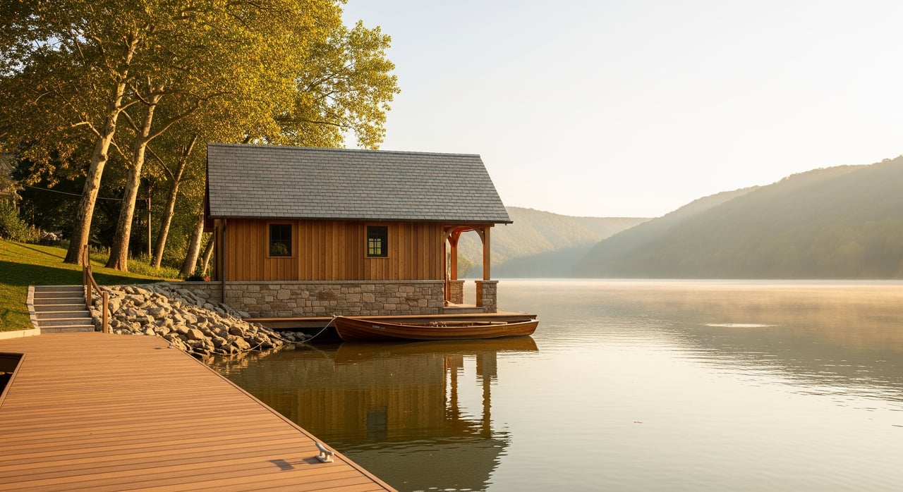
- Riparian properties: These homes or parcels have shoreline. They can offer private access, but often come with maintenance responsibilities and permit considerations for docks or shoreline stabilization.
- Community access: Some neighborhoods include shared river access or docks. This can be a smart balance between convenience and responsibility.
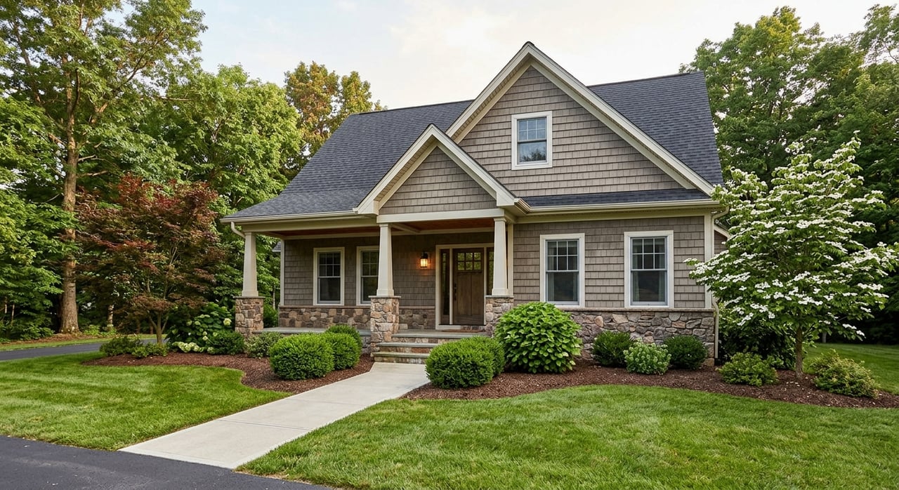
- View properties: Upland homes with river views offer the scenery without shoreline maintenance. Pair views with a short drive to a public launch.
Due diligence for river‑near homes
- Flood risk: Check the FEMA Flood Map Service Center to see if a property lies in a flood zone and to understand potential insurance requirements.
- Permits and shoreline structures: If a property has a dock, rip‑rap, or seawall, verify the permit history. Expect that new work or repairs may require county and state approvals.
- Access rights and easements: Confirm whether access is public, a recorded private easement, or part of a community amenity. Understand who controls gates or access roads.
- Environmental constraints: Riparian buffers, wetlands, and conservation easements can affect building, clearing, and shoreline work.
- Neighboring use: Consider boat traffic patterns and the type of recreation common on your nearby reach.
Lifestyle tradeoffs to consider
Proximity adds convenience, but it can come with seasonal factors like high‑water events, bank maintenance, or busy weekends. Decide whether private shoreline, shared community access, or a views‑plus‑drive setup best fits your routine.
Quick planning checklist
Use this simple list to plan your next day on the Potomac.
- Pick your reach: Choose an immediate local launch for a short paddle or a regional highlight for a full day.
- Verify the access: Confirm whether your site is trailer‑friendly or carry‑in only and check hours and parking rules.
- Check the USGS gage: Review real‑time flow and adjust plans to conditions and skill level.
- Pack safety gear: PFDs for everyone, a whistle for small craft, proper clothing for water temperature.
- Confirm licenses: Make sure you have the correct fishing license for the state where you launch and fish.
- Plan the shuttle: For point‑to‑point trips, arrange a vehicle or ask an outfitter about shuttle options.
- Leave no trace: Clean, drain, and dry gear, and pack out all trash.
- Share a float plan: Tell someone your route and expected return time.
Ready to explore and buy near the Potomac?
If river days are part of your vision, you are already in the right part of the Eastern Panhandle. Whether you want a quiet view lot with a short drive to a public launch or a home with shared community access, our local insight can help you focus your search and avoid surprises around flood zones, easements, and permits. Connect with a trusted advisor at Kesecker Realty, Inc. to explore homes near the Potomac and make a plan that fits your lifestyle.
FAQs
What kinds of public Potomac access are near Falling Waters?
- You will find a mix of paved trailer ramps, carry‑in launches for kayaks and canoes, and park shoreline sites, with access on both the West Virginia and Maryland shores.
How do I check Potomac River levels before paddling?
- Review real‑time flow and stage data from the U.S. Geological Survey and adjust your route or timing to match current conditions.
Do I need a West Virginia or Maryland fishing license here?
- Carry the appropriate license for the waters where you launch and fish, and follow the creel and size limits set by the state that governs that shore.
What should I know about flood risk when buying near the river?
- Use the FEMA Flood Map Service Center to check flood zones, discuss insurance with your lender, and evaluate how floodplain status affects your purchase and long‑term plans.
Are motorboats common on the Potomac near Falling Waters?
- Motorboat use varies by reach and access, with more activity near paved ramps; paddlers should expect occasional boat traffic and plan for shared use.
Where can I confirm official launching and boating rules?
- Consult West Virginia Division of Natural Resources for West Virginia sites and Maryland Department of Natural Resources for Maryland shore access and regulations.